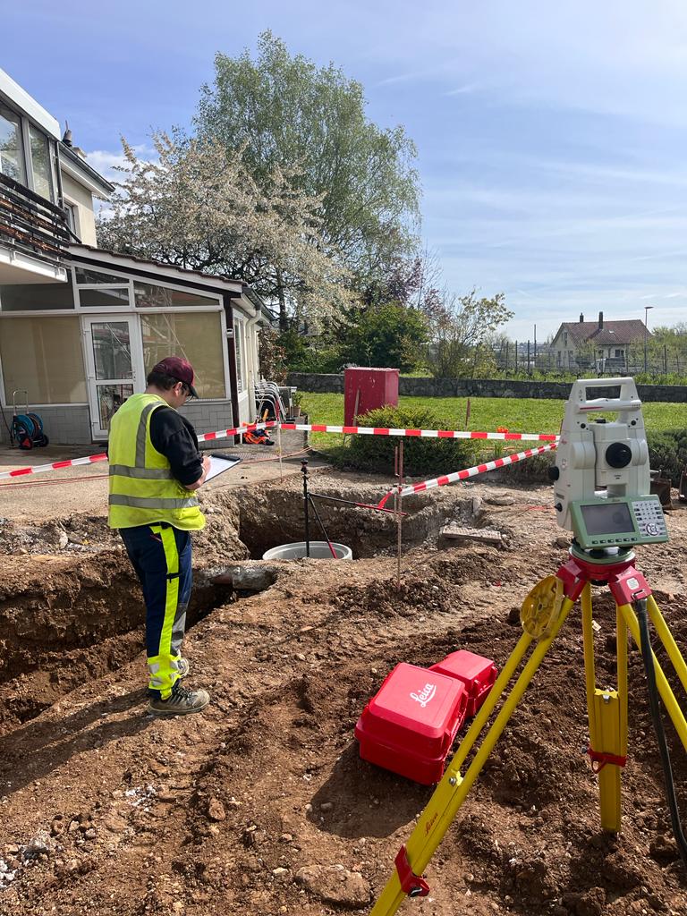
A topographic survey is a method used to measure the physical characteristics of a site and its infrastructure.
The physical characteristics of terrain refer to the different shapes, structures, and physical properties that make it up, such as:
- Altitude or elevation of the terrain relative to sea level.
- Slopes, meaning the steepness of the terrain or the measure of the elevation variation over the distance traveled.
- Watercourses such as rivers, streams, lakes, or ponds.
- Vegetation such as trees, shrubs, meadows, crops, etc.
Infrastructure refers to structures that ensure the functioning and provision of essential services to our society. Infrastructure is often complex and interconnected systems that include buildings, roads, bridges, railways, pipelines, conduits, cables, pylons, power, and communication lines, etc.
Collecting this geographic information, both from the terrain and infrastructure, provides accurate and detailed information for various applications:
- Urban planning and land use planning
- Construction project design
- Agriculture and forestry
- Management of underground networks: water, sanitation, district heating, electricity
- Energy management and environmental protection
- Asset management
Topographical surveys can be carried out using different tools such as levels, total stations, GPS/GNSS antennas, lasers, and drones equipped with measuring sensors.
Our team of surveyors carries out multiple topographical surveys on the field with state-of-the-art measuring instruments.
Infrastructure topographical survey
Carrying out surveys to measure existing objects on the field for their transcription, to scale and georeferenced, into a geographic database.
Newis specializes in the survey of underground networks. This makes it possible to visualize the exact location of the networks, to identify the owners and managers, to monitor the state of the infrastructure, to plan maintenance work and to prevent damage caused by construction or excavation work.
The ideal is to raise underground networks during open excavation, at the time of work, in order to collect the position of the structures, information (diameter, material, fluid), and take photos.
Digital Terrain Model
Realization of relief surveys of the ground to produce a three-dimensional digital representation of the earth’s surface. Slope breaks and edges are surveyed by points that are then triangulated and connected. The smaller the triangles, the greater the detail of the relief. A major asset for calculating volumes, building implantation, and road treatment.
Implementation of Structures
Based on execution plans, positioning a structure on the plot before work begins. The first guide for the structure’s installation. Control of the implantation after work.


